Ruslito
When we deployed Russell Peak, Ruslito stayed behind as a soldier node. I wanted to compare two vantage points in close proximity and see which one performed better. I never meant to leave both nodes up for long. The comparison gave us useful data. Then Ruslito needed to come home.
That first Russell Peak trip I had almost no gear with me. Ruslito got the full jank treatment.
The drive in
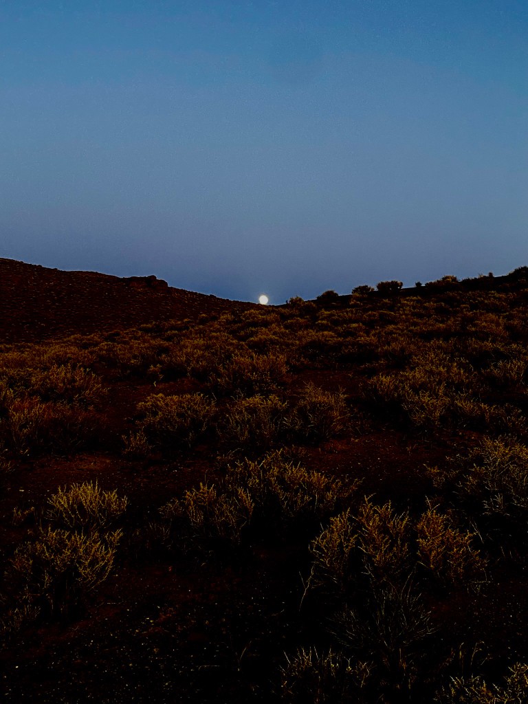
I drove the Jeep to the access point below the peak. The sun was dropping and the moon was coming up over the ridge. I color-corrected this photo as close as I could to what I actually saw. Nevada does that sometimes. You are out doing radio chores and the sky hands you something worth stopping for.
Up the steep side
Ruslito was not on the main summit where we rebuilt the backbone node. It was on a steep flank of the mountain, tucked into one of the two test positions I had picked during the deployment. The climb up that side is short but honest. Loose rock, full exposure, and no trail worth mentioning.
From the highway I had been able to pick Ruslito up occasionally, but only from very specific spots. That pattern finally made sense when I found it.
Upside down in the rocks
The funny part is there was no mount. I had just set the node casually on top of a rock and left it there, completely unsecured. Same day as the Russell Peak deploy, same empty-handed field kit. No zip ties, no stake, no nail. Just a rock and good intentions.
Somewhere between then and now, gravity did its job. I found Ruslito wedged upside down in a crevice between lichen-covered boulders. The enclosure was buried enough that line of sight from most directions was terrible. From the right angle on the road below, a sliver of signal still leaked through.
The solar panel was still functional despite the tumble. That is why Ruslito kept whispering to me from the highway even months later. Wrong orientation, wrong attitude, still charging.
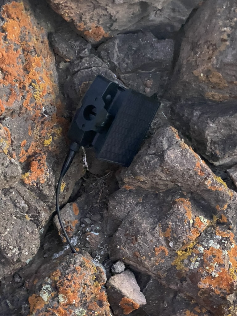
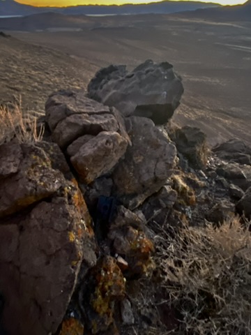
I grabbed the node, packed it, and headed back down just in time for sunset.
Casual use on BLM land
This trip is a good example of how we use the BLM casual use exemption for range testing. Casual use is described loosely as driving over existing roads, sampling, surveying, collecting data, or any other activity that does not cause appreciable disturbance or damage to the public land.
That upfront freedom matters. Casual use lets us narrow down site selection before anyone spends real time on paperwork. We can compare vantage points, prove a link, and walk away from the spots that do not earn a permanent home. By the time we ask the BLM to invest staff hours in a 299 approval, we are talking about sites we actually want to keep long-term. Their resources go to the right peaks, not every hill we climbed on a hunch.
Our low-impact repeaters probably fall within that exemption for short field tests like this one. For long-term placement, the BLM still wants us to go through the 299 process. That makes sense, especially for public radio communication infrastructure that is meant to stay put.
We coordinate closely with the BLM Carson Field Office on the peaks where that matters. Casual use buys us the freedom to learn quickly. Formal authorization is what lets us build something permanent with everyone's blessing.
We do not have an approved 299 on any site yet. The first applications are getting close. Ruslito was the kind of short, low-impact test casual use is meant for. Russell, Poitito, Fox, and the rest are the sites we will be asking the BLM to bless once the paperwork catches up to what the field already showed us.
Mission accomplished
Ruslito did its job. The A/B comparison between the two nearby vantage points gave us useful data for future Russell Peak setups and other summits like it. The node is back in my bag now, ready to deploy somewhere else.