Davidson Peak
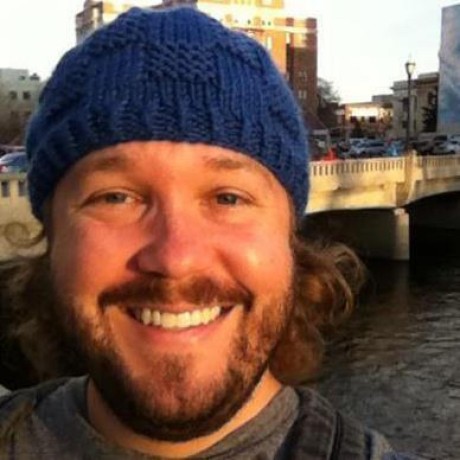
On the same day Tim and I hit Ophir Hill, we also placed a node on Davidson Peak. The summit sits on the Virginia Range crest above historic Virginia City at about 7,850 feet. From up there you look down into the Comstock bowl and out across Washoe Valley. We drove Tim's side-by-side carefully over the trail, did range checking, and found a spot that could actually serve the town below.
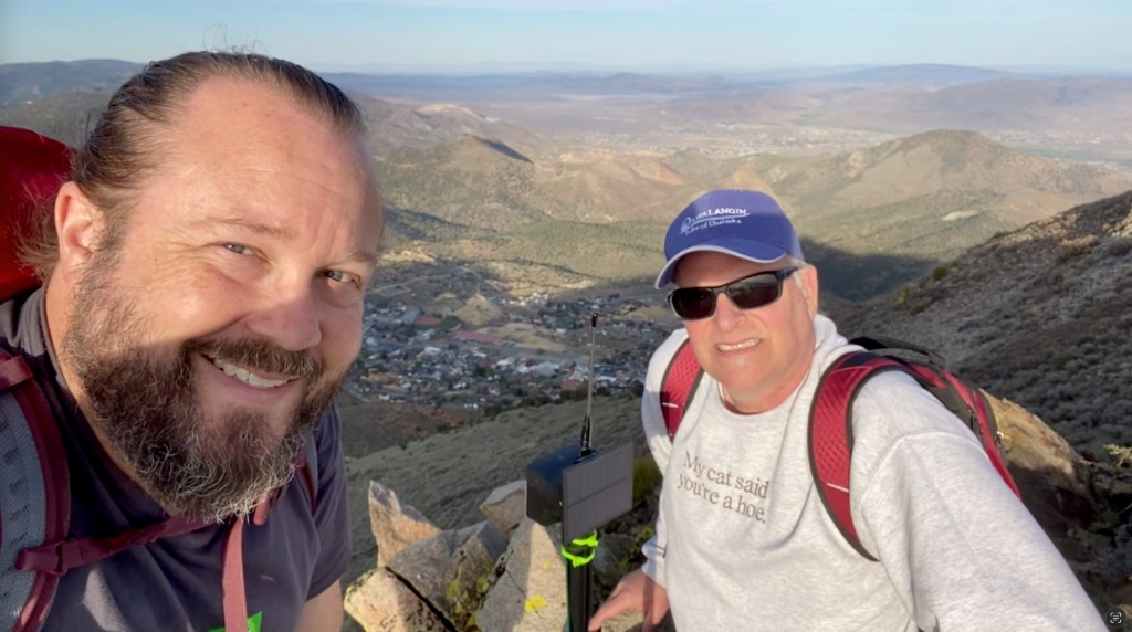
The trail in
After Ophir we loaded back into the side-by-side and worked our way toward Davidson on the same ridgeline country. The trail demands attention. Loose rock, exposure, and grades that remind you why you do not rush a UTV on a Comstock crest.
We were not trying to win a race. We were trying to arrive with working radios and a clear idea of where the node should live.
Finding the spot
Range checking is the whole job on a peak like this. We walked the crest with handhelds and kept testing until the path matched what the map had promised.
There was an old abandoned flagpole on the summit. It looked like the obvious mount. It also looked too difficult to climb safely without gear we did not have that day. Like many deployments, we elected for a spot a little off the beaten path where we could still get a clean glimpse of Washoe Valley and a solid look down into Virginia City.
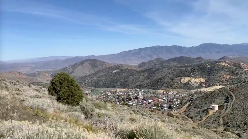
Incidentally, Davidson Peak is the one that hosts the V on the side of the hill for Virginia City. It lights up during the holidays. You cannot miss it from town. Placing a mesh node on the same crest felt like joining something the community already uses to mark the place.
The install followed the same jank node philosophy we used on Ophir that morning: practical hardware, field data first, improve from there. Nothing fancy. Just something honest on the air.
Virginia City on the mesh
The completion of this peak immediately lit up the town of Virginia City and connected Tim to the mesh. That was the moment that mattered. A basin that had been dark on our map now had a live backbone anchor on the west side of the range.
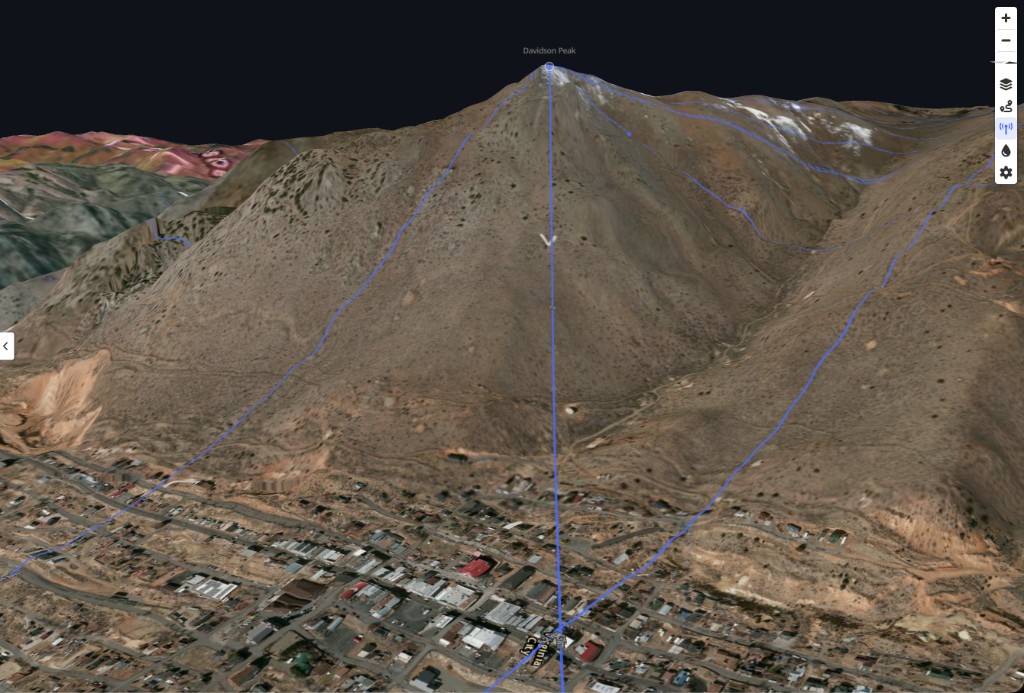
Davidson handles the west. Ophir anchors the south. Flowery Peak would close the gap from the east a few weeks later. Together they turn a promising ridge into something closer to full coverage for a town that still depends on reliable comms when the cell network gets thin.
Since that April day the node has stayed on the verified map as an installed backbone site on the reno-coleville corridor. When we later ran Peaky Finders goal-seeking toward Topaz and Coleville, Davidson showed up again as one of the clean hops from the Virginia City repeaters toward McClellan Peak and the country beyond.
Thanks
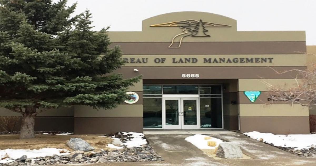
Thanks to Tim for another long day on the Virginia Range crest, and to the Bureau of Land Management field offices that keep working with us as we learn Nevada summits. Davidson Peak is another crest with a live node on it. Virginia City noticed.