Fox Mountain

I was exhausted after several days of working the Reno backbone out to Gerlach and the Black Rock Desert, and I wanted to go home. One of my goals for the trip was a site survey on Fox Mountain: walk the summit, see what it hears, and figure out whether a repeater there is worth pursuing and where it should sit. I had been exploring around Soldier Meadows and playing around in the Jeep doing range tests out that way when onX Offroad told me I could get to Fox Mountain from where I was. It might even be true. Sometimes it sends me down the worst roads just because they are the shortest path on paper.
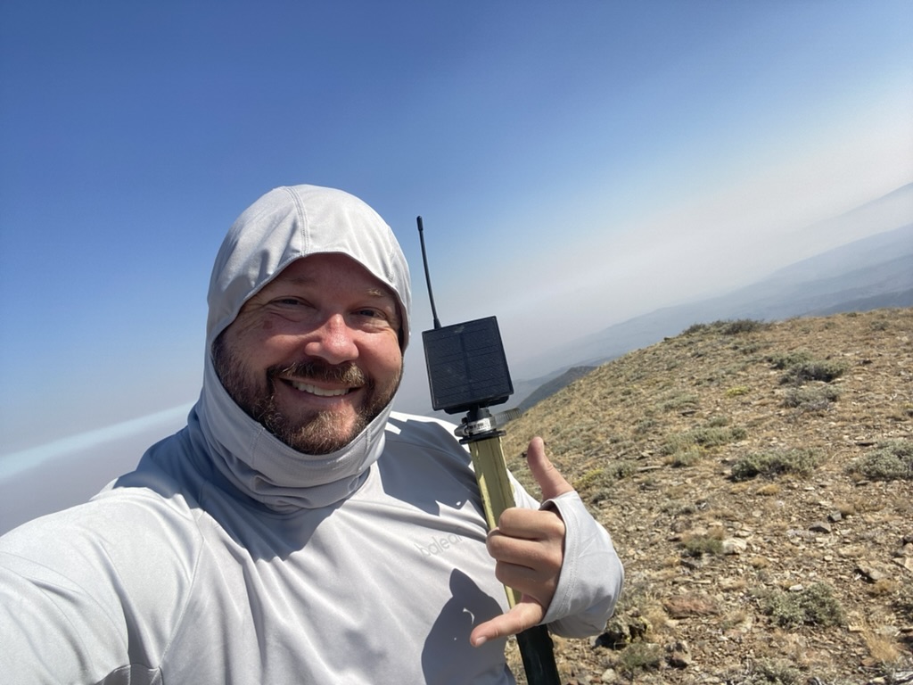
The road not taken
onX eventually routed me down roads so untraveled that the path barely existed. The sun was going down. I was not going to reach Fox Mountain during daylight, and I was concerned I might not get there at all if I kept pushing into unexplored roads in the dark. I pivoted back toward Gerlach, a little defeated and ready for a good night's sleep. I thought I might save Fox Mountain for another trip.
In the morning I woke up refreshed and determined. I still wanted to know what kind of range we could get from that summit. I planned the route fresh and drove up to Fox Mountain.
Above the smoke
Fox Mountain is a beautiful summit and a beautiful drive. I had to pass through a layer of wildfire smoke on the way up, and then I was above it at the top. There is a lot of radio equipment on the peak, including gear from partners and prospective partners.
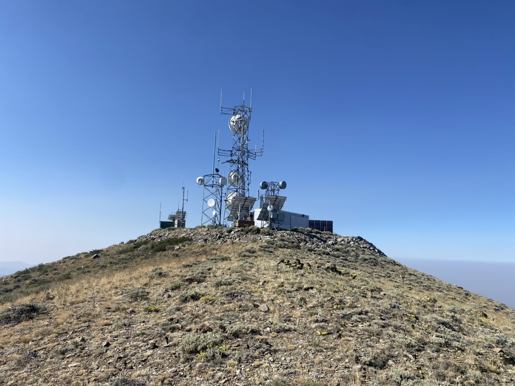
Fox has partner infrastructure on the summit, which makes it tempting to assume the tower compound is the right mount. I wanted to test that before anyone spent time on paperwork.
Walking the ridge
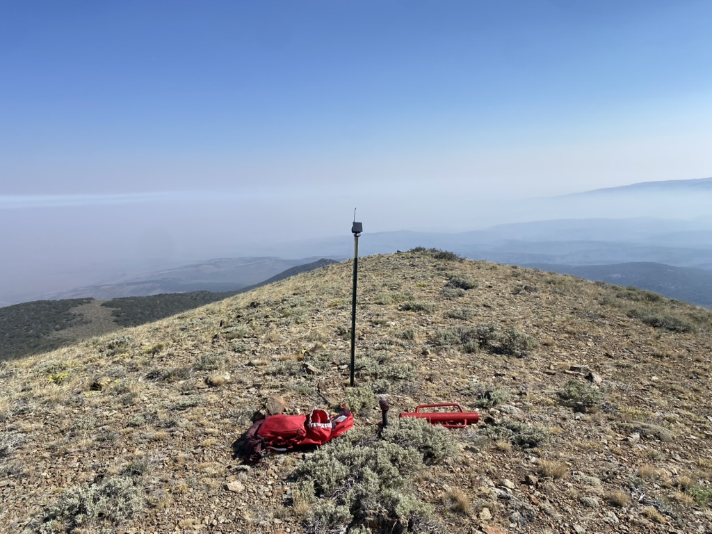
I walked the crest with a repeater in my hand and kept checking links to our other sites. On this ridge, five or ten feet of movement could swing you from a strong path to nothing. Terrain, antenna orientation, and what the ridge blocks matter more than standing next to the steel.
After some searching I found a spot with a clean connection back to Poito Mountain, about forty miles away. Unbelievably, it even had intermittent connectivity to Toulon Peak, more than seventy-five miles away.
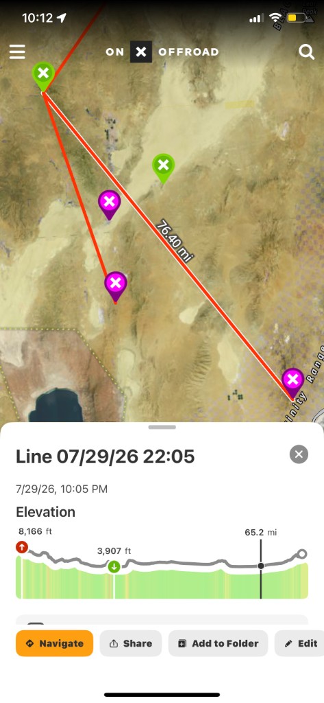
That is the onX measurement for that hop. Seventy-six point four miles across the basin, from roughly eight thousand feet down toward the Trinity Range and back up again. On paper the path looks impossible until you are standing in the one place on the ridge where the geometry works.
I staked a jank node on a T-post at that spot so we could keep collecting data from the geometry that worked. We do not have an approved 299 on any summit node yet, Fox included. For now this is casual-use range testing: low impact, easy to relocate, and honest about what we do and do not know before we ask the BLM to invest staff time in a formal approval.
If the link keeps performing, this mount will probably stay put while we work toward that paperwork. I am not going to call it fully authorized permanent infrastructure. The first 299 applications are getting close, and this summit is on the list.
Playa mud
After Fox Mountain I took the Jeep for a joyride on the playa on the way back toward Gerlach. That was a mistake. Near the south end the surface got soft enough that I almost bogged out. I had to turn around without losing momentum just to bail out of the soft playa before it swallowed the tires.
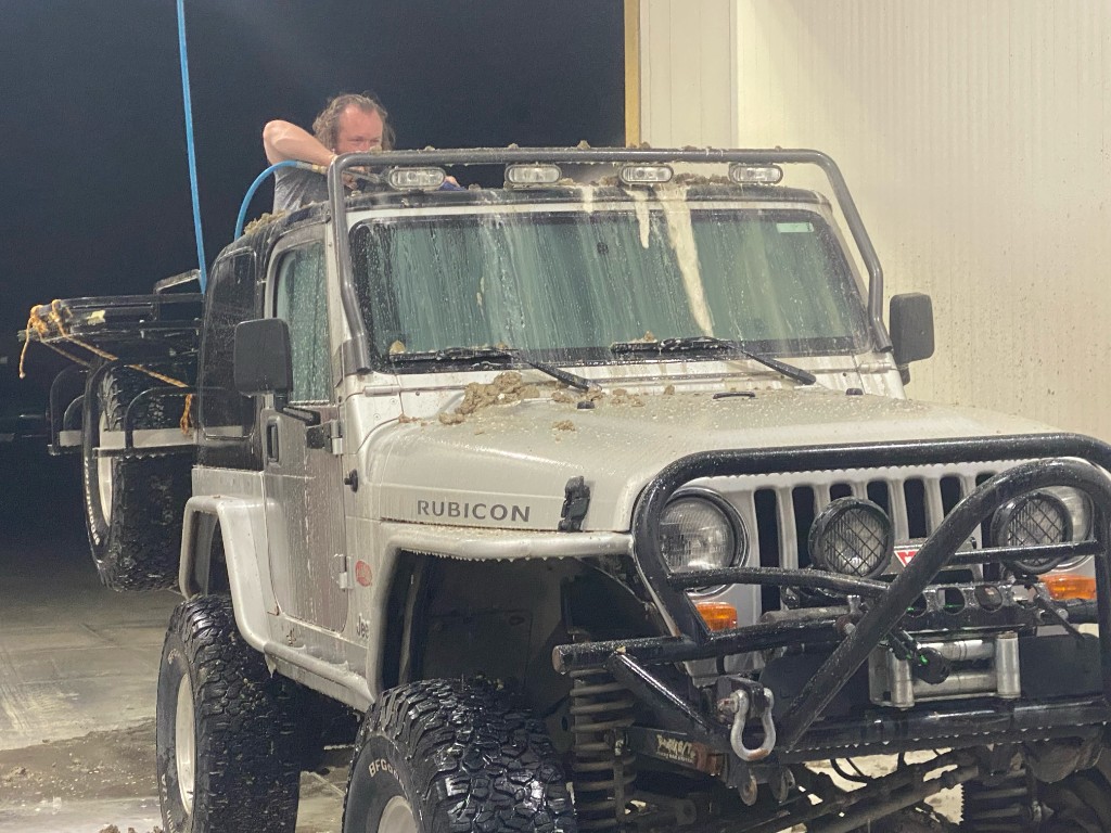
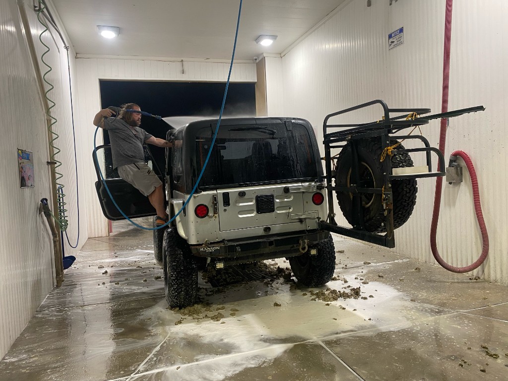
We picked up a lot of mud. Thick alkaline playa mud that clings to everything and does not want to let go.
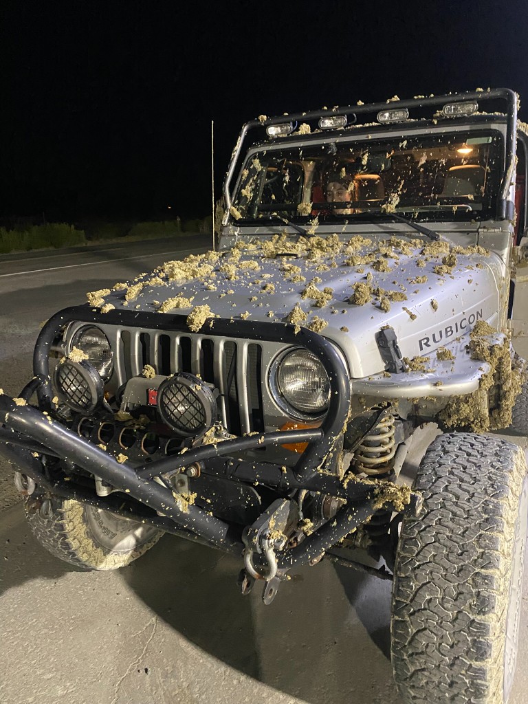
Two car washes later it is still not really gone.
A tool for the next climb
I am going to start working on a real-time tool to support this evaluation process. Walk around on a peak, ping repeaters in real time, and let the tool remember the optimal locations. It is fun going out into the field and coming back with new ideas for tools that would help improve the public mesh.
More field data beats more assumptions. Fox Mountain gave us a candidate mount and a seventy-six mile sight line. The 299 conversation comes next.