Topaz
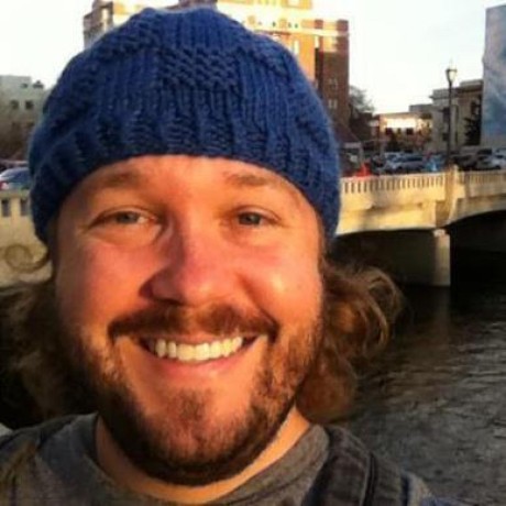
Mark Spencer lives in Coleville, down on the eastern slope of the Sierra where the mesh had never reached. We met at the Minden user-group summit about six months ago and kept in touch. His vertical antenna comparison is one of the more practical pieces on the site. In conversation he mentioned that Coleville still had no real mesh coverage and that he had once caught a brief glimpse of Meshtastic traffic, possibly from Mount Rose. That was enough for me. I offered to load up the Jeep and stake a node somewhere that could actually serve his town.
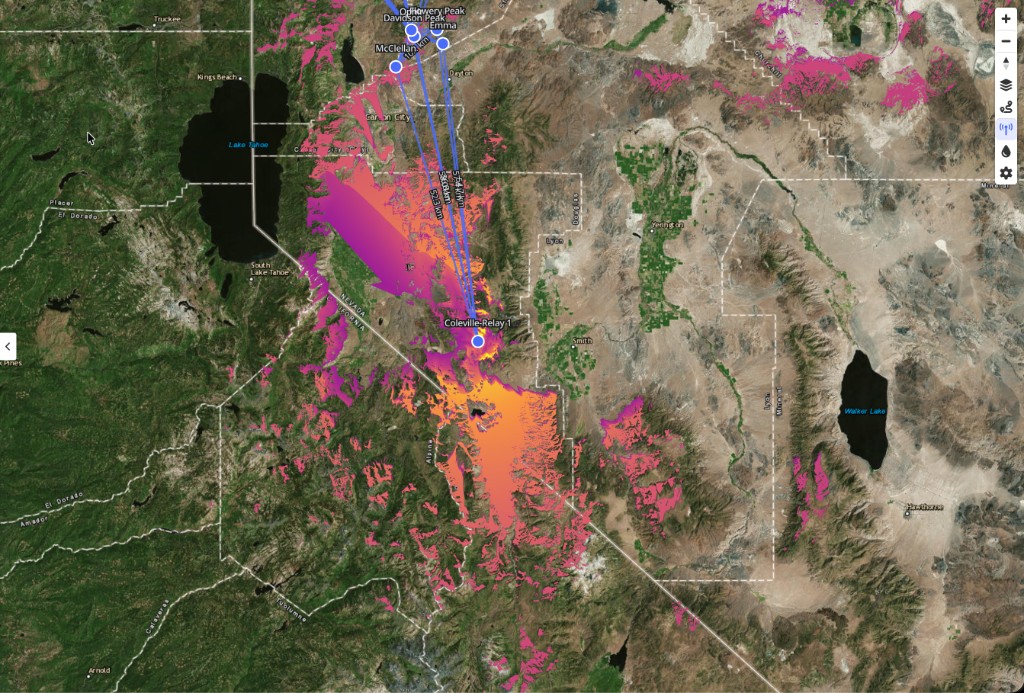
I fired up Peaky Finders and ran a goal-seeking pass toward Coleville. The algorithm pointed at Bald Mountain, a summit that already hosts ALERT wildfire cameras. From that ridge the model showed clean lines to McClellan Peak, Davidson Peak, and Flowery Peak above Virginia City. One well-placed repeater could light up Smith Valley, Coleville, Walker, and the whole Topaz Lake area. For the price of a single backbone node we could cover a basin that had been dark on our map. It felt worth a diversion from the other work on the calendar.
Plan A and Rosie's Café
Mark met me at Rosie's Café in Smith Valley. He nimbly climbed into the Jeep, which impressed me. He is one of our more senior members and he moves like someone half his age. We headed for the eastern approach to Bald Mountain and immediately hit a Road Closed sign. It had been knocked over. I did not see any activity that explained why the road was still closed, but out of an abundance of caution I wanted to respect the sign. We drove back to Rosie's, ate breakfast, and regrouped.
Mark knew another spot on Humboldt-Toiyabe National Forest land where a cell tower sits on a lower ridge. Plan B was born over eggs and coffee.
Study the contours, not just the roads
Getting to the tower site was its own lesson. We tried climbing the steep face of the hill on what looked like a shortcut. The tires started slipping in loose gravel. The Jeep began to turn sideways on the slope. I felt the driver side lift despite my dense personal abundance. I shifted into reverse, ran a few physics scenarios in my head, and decided I could turn the wheels and back down safely. Once we were on the main dirt road again I checked the map and saw an obvious but longer route we should have taken from the start.
Over time I am starting to read what the Jeep can handle just by looking at the topography. Study not only the roads, but also the contours.
Everything that could go wrong
We spent a while searching for the perfect signal spot. Eventually we found two repeaters with contact back toward the Reno and Carson area. That was the good news.
The rest of the day tested our contingency tree from top to bottom.
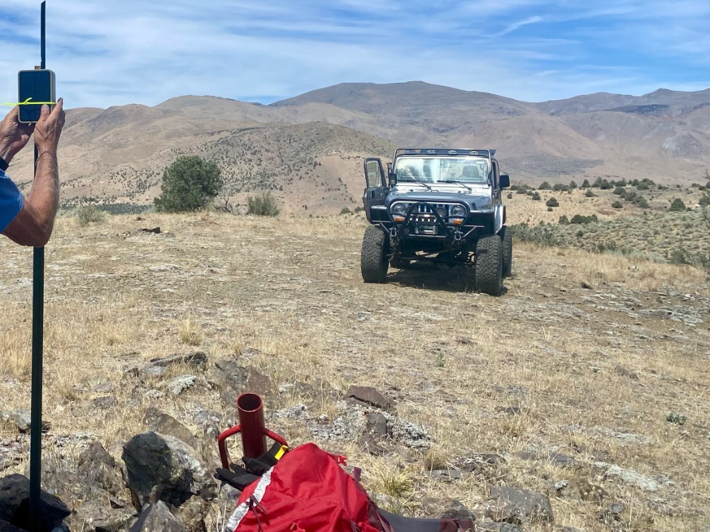
I had carried two jank nodes. Both had connection problems. These are the same units that failed on the Miriam trip, and they seemed to know better this time too. I could not isolate the failure in the field. Fortunately I had brought a third, commercially built node, and that is the one that went up.
I do a lot of troubleshooting from the Jeep, but I had rushed out the door and left some of my normal tools sitting in the parking space at home. Hose clamps failed. I ran out of batteries. We ended up on zip ties. In a strange way that was confidence building. We started from a fairly high ideal and traversed all the way back down to older techniques, and we still got Topaz on the map.
What Topaz covers
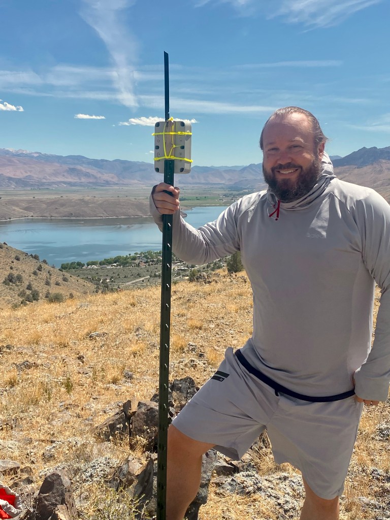
The node sits on USFS land above Topaz Lake with a view across the basin Mark calls home. From the site we could hear mesh traffic on the air. The coverage model for the stake we actually placed looks like this:
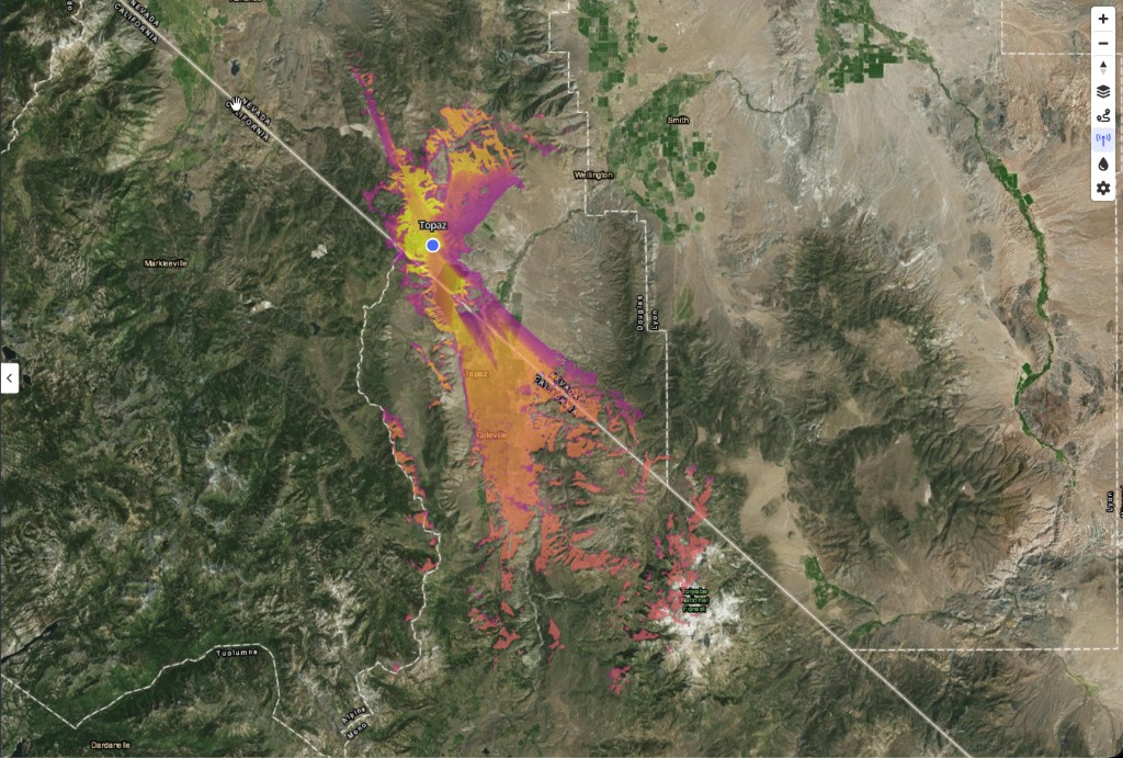
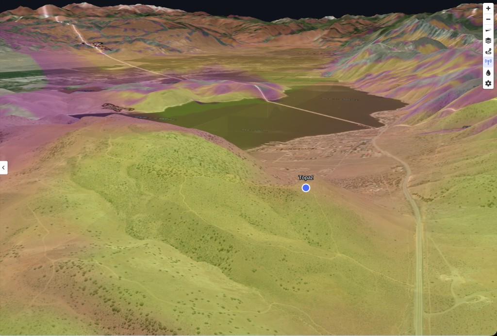
That is a meaningful step for Coleville. It is not the same footprint as Bald Mountain, the summit we originally targeted. Bald Mountain would tie back to the Virginia City backbone in a cleaner way and spill signal across a wider slice of the region. We still intend to go back there when the access question is settled.
Land managers and what comes next
The Topaz node sits on U.S. Forest Service land above Topaz Lake on the Humboldt-Toiyabe National Forest. I have a message in asking for clearance to keep our node there. We have a good working relationship with the Special Uses office from Peavine. Topaz is our first standalone deployment that is not leaning on an existing tower compound. Permission is pending.
Bald Mountain, the summit we still intend to reach, is on BLM land. Plan A took us to the eastern approach before the road-closed sign turned us back. When we go back, that stake will need the same respectful coordination we bring to every public-land site.
As of this writing the Topaz node is live locally but not yet reachable from Reno. We are still diagnosing whether that is geography, placement, or something in the hardware we carried that day. Either way, Coleville-side coverage is the win we went for, and Topaz is on the map.
Thanks
Big thanks to Mark Spencer for coming along, scouting locations, and adapting to whatever the day threw at us. Thanks also to Seeker, who ran base operations support from Discord and learned through his BLM contacts that the Road Closed sign on the Bald Mountain approach had actually been meant to come down. It would have been fine to go around it. We will return with that knowledge. Bald Mountain is still the prize.
We are grateful to the U.S. Forest Service for the working relationship that started at Peavine and now extends to the Coleville corridor. We are also grateful to the Bureau of Land Management for the public-land partnerships that make backbone work on summits like Bald Mountain possible. See our BLM Carson partnership for more on how we coordinate field testing on federal land.